Atlas Mountains Morocco: Travel Guide, Tips & Highlights
Atlas Mountains Morocco: Travel Guide, Tips & Highlights
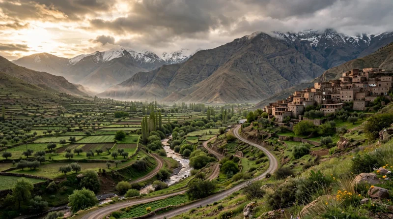
The Atlas Mountains in Morocco stretch across the country like a great rocky spine, dividing the Mediterranean coastline from the Sahara Desert. Rising just an hour’s drive from Marrakech, these mountains hold North Africa’s highest peak, ancient Amazigh (Berber) villages, dramatic gorges, and some of the most rewarding trekking on the continent. Whether you want a scenic day trip through mountain passes, a multi-day village-to-village walk, or the challenge of summiting Mount Toubkal, this guide covers what to know, when to go, and how to plan a visit with confidence.
Key Takeaways
- The Atlas Mountains in Morocco have three ranges — the High Atlas, Middle Atlas, and Anti-Atlas — running southwest to northeast across the country.
- Mount Toubkal (4,167 m) is the highest peak in North Africa; a licensed guide is mandatory for the summit, and most people climb it in two to three days from the village of Imlil.
- The foothills begin about an hour from Marrakech, making the Atlas an easy day trip or a longer mountain adventure.
- The best times for most visits are April to June and September to November; summer suits high-altitude trekking, while winter brings snow above 2,000 metres and skiing at Oukaïmeden.
Where Are the Atlas Mountains? The Three Ranges
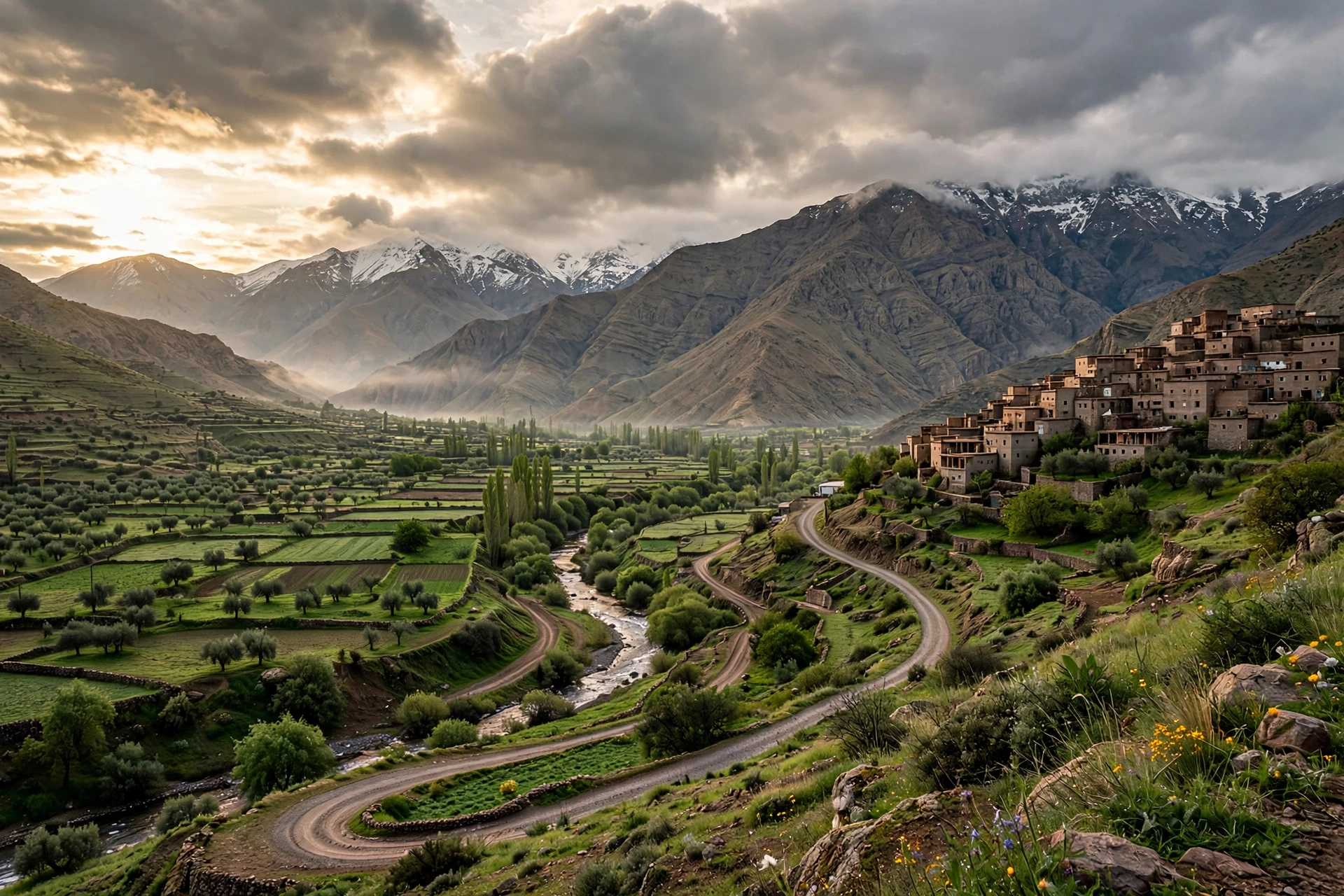
The Atlas Mountains run roughly southwest to northeast across Morocco, with related ranges continuing into Algeria and Tunisia. Morocco’s portion is split into three distinct ranges, each with its own character.
The High Atlas is the most dramatic of the three and the one most travelers mean when they talk about the Atlas Mountains. It holds Mount Toubkal, the highest peak in North Africa at 4,167 metres, along with the Toubkal National Park, deep gorges, and the famous Tizi n’Tichka mountain pass. The High Atlas rises sharply south of Marrakech and is the centre of Morocco’s trekking scene.
The Middle Atlas is greener and lower, a land of cedar forests, lakes, and hills. It is home to Barbary macaques in the cedar woods, the ski-influenced town of Ifrane, and rolling scenery that feels quite different from the stark High Atlas. The Anti-Atlas in the far south is drier and older geologically, with stark granite landscapes and palm-filled valleys leading toward the Sahara.
Mount Toubkal: North Africa’s Highest Peak
Mount Toubkal, at 4,167 metres, is the crown of the Atlas Mountains and the highest mountain in North Africa. For fit travelers, the summit is a realistic goal: the standard route from the village of Imlil takes two to three days and requires no technical climbing skill in the May-to-October season — but it is genuinely hard, with serious altitude gain on the final ascent day.
Moroccan authorities require a licensed guide for the Toubkal ascent, and that rule is enforced. Booking through the Bureau des Guides in Imlil or a reputable operator is the normal route. Winter ascents (December to March) are a different undertaking entirely, needing mountaineering experience and equipment — this is not a winter goal for first-time visitors.
If a summit feels like too much, the Toubkal region still rewards simpler visits. The walk from Imlil through walnut groves and Amazigh villages gives you the mountain scenery without the altitude challenge, and the nearby Ourika Valley works as an easy half-day escape from Marrakech.
Highlights Beyond Toubkal
The Atlas Mountains are far more than one peak. A few standout sights worth building into any itinerary:
Tizi n’Tichka pass. The paved national road crossing the High Atlas toward Ouarzazate, about two hours from Marrakech for the pass itself, with the full crossing taking roughly four hours. It is busy with buses and trucks, winding through endless switchbacks — impressive in good weather, and occasionally closed by winter snow.
Aït Benhaddou. The famous fortified village (ksar) on the far side of the High Atlas, a UNESCO World Heritage site since 1987 and one of Morocco’s most photographed places. It sits naturally at the end of an Atlas crossing.
Dades Gorges and the Valley of Roses. A series of rugged gorges carved by the Dades River, leading into the pink-hued Valley of Roses — a favorite circuit for travelers wanting colorful valleys and dramatic canyon scenery.
Lake Ifni. At 2,295 metres in the heart of the High Atlas, Lake Ifni is the largest mountain lake in Morocco. The medium-difficulty hike there from Imlil rewards you with spectacular high-mountain scenery.
Oukaïmeden. Morocco’s main ski resort, in the High Atlas, drawing winter visitors when snow covers the peaks from December to March.
Best Time to Visit the Atlas Mountains
Timing depends on what you want to do:
- April to June and September to November — the ideal windows for most hiking, village walks, and road trips. Temperatures are pleasant at lower elevations and the trails are clear of snow.
- July and August — the best (and really only) months for high-altitude trekking and Toubkal summits, when the high passes are reliably open. It can be hot in the valleys, but the high mountains are refreshingly cool.
- December to March — winter above 2,000 metres brings snow, spectacular scenery, and skiing at Oukaïmeden, along with lower prices. Mountain passes can close after heavy snowfall, so build slack into winter itineraries and check conditions before crossing.
A practical rule: three days minimum gives a meaningful taste of the Atlas, while a week allows genuine immersion — an Imlil base with day excursions, an overnight at Aït Benhaddou, and perhaps a stop in the Middle Atlas.
Getting There from Marrakech
The Atlas foothills start about an hour’s drive from Marrakech, which is why most Atlas trips begin there. Imlil, the main trekking base, is roughly 90 minutes south of the city — it is where you meet guides, hire mules, and start the Toubkal route. For simple valley visits such as the Ourika Valley or Imlil village itself, no guide is needed and a day trip from Marrakech works fine.
For multi-day treks and any Toubkal attempt, plan to overnight in Imlil before setting out — it helps with altitude adjustment and logistics. Private drivers are the normal way to reach the mountains; self-driving over passes like Tizi n’Tichka is possible on the paved national roads, but the backroad passes toward Demnate and Azilal demand more respect, and you should never try to cross a flooded riverbed (oued) in any vehicle.
For more destination inspiration, see our guide to Vermont Fall: Dates, Events & What to Know and our Cabo San Lucas Travel Advisory for another mountain-and-coast travel region.
Practical Tips for the Atlas Mountains
Guides. A licensed guide is mandatory for Toubkal and strongly recommended for any multi-day trek. For village-to-village walks it is not legally required, but a local guide transforms the experience — and supports mountain communities still recovering from the 2023 earthquake. Details on route options can be found in a specialist Atlas Mountains trekking overview.
Altitude. Respect it. The jump from Marrakech (about 460 metres) to Toubkal’s 4,167 metres is extreme. Spend a night at altitude before a summit push, pace yourself on the ascent day, and turn back if symptoms of altitude sickness appear.
What to pack. Layers are essential — temperatures swing dramatically between valleys and passes. Sturdy walking boots, sun protection, a warm layer even in summer, and a headlamp for early summit starts. In winter, add full cold-weather gear.
Culture and etiquette. The mountains are Amazigh (Berber) country. Dress modestly in villages, always ask before photographing people, and buy directly from artisans where you can. A few words of Tamazight go a long way — azul means hello, tanmirt means thank you. For a deeper look at routes, passes, and logistics, this complete guide to visiting the Atlas Mountains is a useful planning companion.
Money and supplies. Carry cash — ATMs thin out beyond the main towns. Imlil has shops for last-minute supplies, but buy specialist gear in Marrakech.
Mobile coverage. Coverage is generally reliable on the main routes but patchy in higher mountain terrain — download offline maps before you go.
Frequently Asked Questions
What should you know about atlas mountains morocco?
The Atlas Mountains in Morocco comprise three ranges — High, Middle, and Anti-Atlas — running across the country. The High Atlas holds Mount Toubkal (4,167 m, North Africa’s highest peak), the Tizi n’Tichka pass, and the main trekking areas, all reachable within one to two hours of Marrakech. Expect Amazigh villages, dramatic gorges, and scenery that changes with the seasons.
What are the key things to consider for atlas mountains morocco?
Season matters most: spring and autumn are best for general hiking, summer for high-altitude summits, and winter for snow scenery and skiing. A licensed guide is mandatory for Toubkal and strongly recommended for multi-day treks. Budget at least three days, carry cash, pack layers for big temperature swings, and respect local customs in the Amazigh villages.
How can you make the most of atlas mountains morocco?
Base yourself in Imlil for two to three nights to acclimatize and explore day walks before any bigger objective. Combine a mountain day trip with an Atlas crossing to Aït Benhaddou for the classic Marrakech-to-desert journey. Hiring a local guide supports mountain communities and unlocks routes and village experiences you would never find alone.
Conclusion
The Atlas Mountains in Morocco are one of North Africa’s great travel experiences — a world of high peaks, ancient villages, and winding mountain roads sitting almost on Marrakech’s doorstep. From a gentle valley walk to the 4,167-metre summit of Mount Toubkal, there is an Atlas experience for nearly every fitness level and travel style. Pick the right season, respect the altitude, travel with a local guide when it counts, and the mountains will repay you with some of the most memorable days of your Morocco trip.